GeoData
Data Needs Assessment
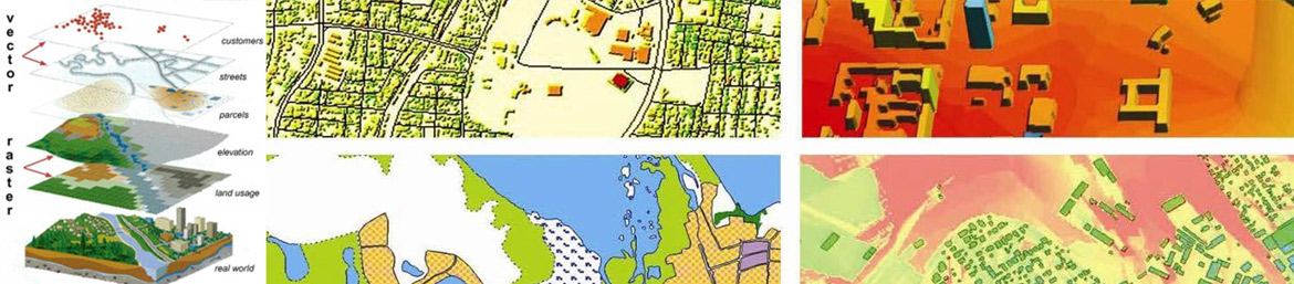
Do you have the data to support your business process? We have the expertise to help you define, to source, to manage and store the data you require. We begin by determining your analysis and presentation needs and then identify available data sources. We then evaluate the data in terms of content, accuracy, precision, and currency in order to determine if they are fit for purpose and to be included in your spatial database.
Data Conversion
Our data conversion service includes scanning of paper maps / drawings / documents, digitizing from scanned paper maps / drawings / documents, or file format conversion.
Scanning
Is your data in paper form? A lot of your data might be maps / drawings / documents; we have the equipment and expertise to scan these. We are able to scan using large and small format scanners. Your scanned maps / drawings / documents can also be integrated to your existing spatial features.
Digitising
Let us help you get additional value in your paper maps. We create vector data which can be integrated with the rest of your spatial database through a process of on screen digitising.
File Format Conversion
We leverage the latest technology in converting data between file formats. With our file format conversion technology you are assured that your data can be used and shared exactly when, where and how it's needed. We support over three hundred file formats.